
SITE PHOTOS
DAYTIME
NIGHTTIME
SATELLITE VIEW
|
|||||||||||||||||||||||
|
SITE PHOTOS
|
|||||||||||||||||||||||
| The site for the initial Earthrise center is located some 17 miles (27 km) east of Cloudcroft, New Mexico, in an area known as 16 Springs Canyon. It is within the boundaries of the Lincoln National Forest, at an elevation of 7300 feet (2200 meters). It features an open meadow environment that is ideal for astronomical observations, although a portion of the site is forested, providing an aesthetic mountain environment. The northern boundary of the Earthrise site is within 100 meters of the site from which Comet Hale-Bopp was discovered in July 1995. | |||||||||||||||||||||||
|
DAYTIME
|
|||||||||||||||||||||||
|
|
||||||||||||||||||||||
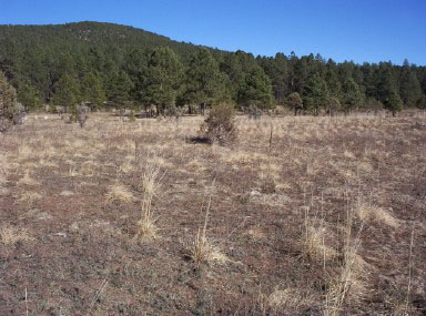
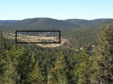
| LEFT: View from southeast corner of Earthrise site, looking east-northeast. RIGHT: View from approximately two miles to the southeast. The Earthrise site is near the center of the black rectangle. | |||||||||||||||||||||||
|
NIGHTTIME
|
|||||||||||||||||||||||
|
|||||||||||||||||||||||
|
|||||||||||||||||||||||
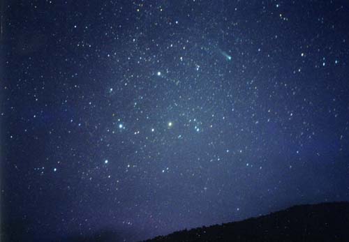
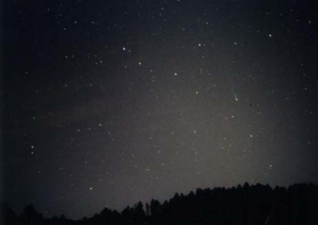
| These two photographs of Comet Ikeya-Zhang taken in early 2002 from the Earthrise site illustrate the dark skies that are prevalent there. LEFT: March 9, 2002, evening sky, looking west. The zodiacal light stands out plainly to the left of the comet. RIGHT: April 13, 2002, morning sky, looking northeast. The constellation of Cassiopeia is visible below and to the left of the comet. | |||||||||||||||||||||||
|
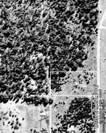
SATELLITE VIEW
|
|||||||||||||||||||||||
|
|||||||||||||||||||||||
| This is a QuickBird satellite image of the Earthrise site from DigitalGlobe. The white rectangle is the property we currently have for Earthrise; the dashed rectangle is property that we eventually seek to add to it. East is up, north is to the left. | |||||||||||||||||||||||
| Back to Earthrise page | |||||||||||||||||||||||